How moving tectonic plates and rising heat from deep within Earth created one of the ocean’s largest canyons.
On land, giant canyons like the Grand Canyon are usually the slow handiwork of rivers that grind rock into sediment over vast spans of time. The deep ocean does not have the same kind of persistent, surface flow carving open valleys in solid bedrock.
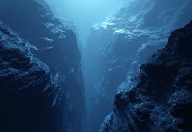
Yet the seafloor still hosts chasms that dwarf many famous landscapes above water. One of the most dramatic is the King’s Trough Complex, about 1,000 kilometers west of Portugal. It is not a single cut in the seabed but a broad system of parallel trenches and deep basins stretching roughly 500 kilometers, with Peake Deep at the eastern end marking one of the Atlantic Ocean’s deepest spots.
So what could create a feature on that scale in the middle of an ocean basin. A new study from an international team led by the GEOMAR Helmholtz Centre for Ocean Research Kiel reports fresh evidence in the journal Geochemistry, Geophysics, Geosystems. The work points to the powerful link between slow-moving tectonic plates at the surface and heat-driven activity far below them.
“Researchers have long suspected that tectonic processes – that is, movements of the Earth’s crust – played a central role in the formation of the King’s Trough,” says lead author Dr Antje Dürkefälden, marine geologist at GEOMAR. “Our results now explain for the first time why this remarkable structure developed precisely at this location.”
Seafloor opened like a zipper
The researchers propose that from about 37 to 24 million years ago, this part of the North Atlantic briefly became a boundary zone between the European and African plates. Instead of one plate simply sliding past another, the crust here was pulled apart and broken, with the separation progressing from east to west, like a zipper opening.
The timing is only part of the puzzle. The team also found that the crust in this region was already unusual before the plate boundary arrived. It was thicker than typical oceanic crust and had been strongly heated, conditions that can change how rocks deform under stress.
The most likely cause, they argue, was hot material rising from the Earth’s mantle, a mantle plume, which acts like a long-lived pipeline of heat from deep inside the planet. The researchers interpret this plume signature as an early branch of the present-day Azores mantle plume, sugesting that deep mantle activity may have helped “prepare” the area.
Volcanic rock acts as an archive of Earth’s history. Here, a scientist on board the METEOR cuts through a rock sample recovered from King’s Trough. Credit: Fabian Hampel, GEOMAR“This thickened, heated crust may have made the region mechanically weaker, so that the plate boundary preferentially shifted here,” explains co-author PD Dr Jörg Geldmacher, marine geologist at GEOMAR. “When the plate boundary later moved further south towards the modern Azores, the formation of the King’s Trough also came to a halt.”
The King’s Trough therefore provides a vivid example of how processes deep in the mantle and movements of the overlying tectonic plates are linked, and how earlier mantle activity can influence the location of subsequent tectonic deformation.
The results not only improve our understanding of the geodynamic evolution of the Atlantic Ocean, but also offer insights into how similar processes are occurring today. In the Azores region, a comparable trench system – the so-called Terceira Rift – is currently forming, again in an area of unusually thickened oceanic crust.
Expedition, rock samples, and age dating
The findings are based on data from research expedition M168 with the research vessel METEOR in 2020, led by Antje Dürkefälden. Using a high-resolution sonar system, the team first created a detailed map of the area, then selectively recovered volcanic rocks from different parts of the trench system using a chain bag dredge.In the laboratory, the researchers analyzed the chemical composition of the samples. The age of selected rocks was determined at the University of Madison (Wisconsin, USA).


comments


Other categories
Recent Comments